The walk is covered on the following maps:
- OS Landranger Map No 102 – 1:50,000 scale
- OS Explorer Map No 286 – 1:25,000 scale – preferable for walking
The route is described from the junction of Tunbrook Road and Elston Lane
|
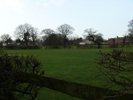
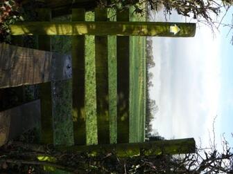
Join FP1 on Elston Lane, opposite Tunbrook Avenu, just before The Hermitage. Over the stile, to FP15 - about 100 yards. This land is farmed by a local farmer for whom environmental sustainability is an integral part of his ethos, taking special measures to protect diminishing ground-nesting birds and other wildlife.
|
 |
|
|
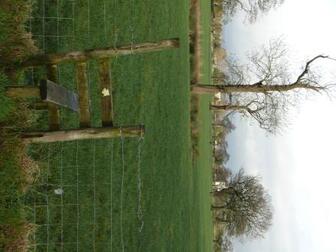
Over another stile and turn right. A large range of biodiversity is present in this area, from pygmy shrew to roe deer. The field forms a natural wildlife corridor between two important Biological Heritage sites – Wood Top in the valley of Tun Brook and Grimsargh Wetlands. |
 |
|
|
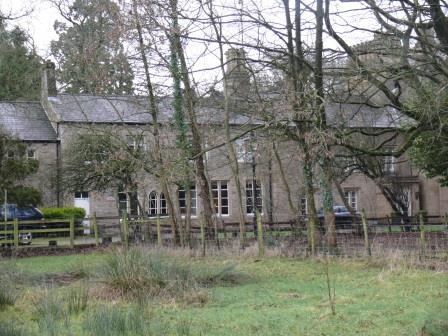
Follow the field along and around the rear of the Hermitage - a striking old building with a long history in the Village – dating back to at least 1680, it has been school, restaurant, and is now a private home. An Area Tree Preservation Order is in place covering all of the trees on the Hermitage land – many of which, such as the coast redwood, are quite rare.
|
 |
|
|
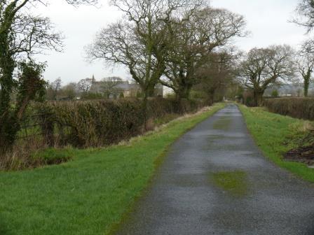
Cross to Woodfold Farm. Over stile at Woodfold Farm and turn left along the lane (FP 21).
|
 |
|
|
Continue to stroll along the lane. From here you are accorded lovely views across the open pasture land to the edge of the Village. |
|
|
| Just before Chapel House Farm, turn left along another lane. From here you can enjoy the view of Our Lady and St Michaels Church - most often referred to Alston Lane Church. | 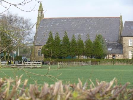 |
|
|
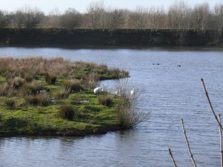
When you reach the main road, turn left to return to the Village. When you reach Alston Lane - do cross the road and take a quick stroll up to the Grimsarh Wetlands - always worth a visit! |
 |
